SEARCH SITE BY TYPING (ESC TO CLOSE)

Skip to Content

Hikes Around Olhão

Discover the Authentic Soul of the Algarve on Foot

Hikes Around Olhão

Discover the Authentic Soul of the Algarve on Foot

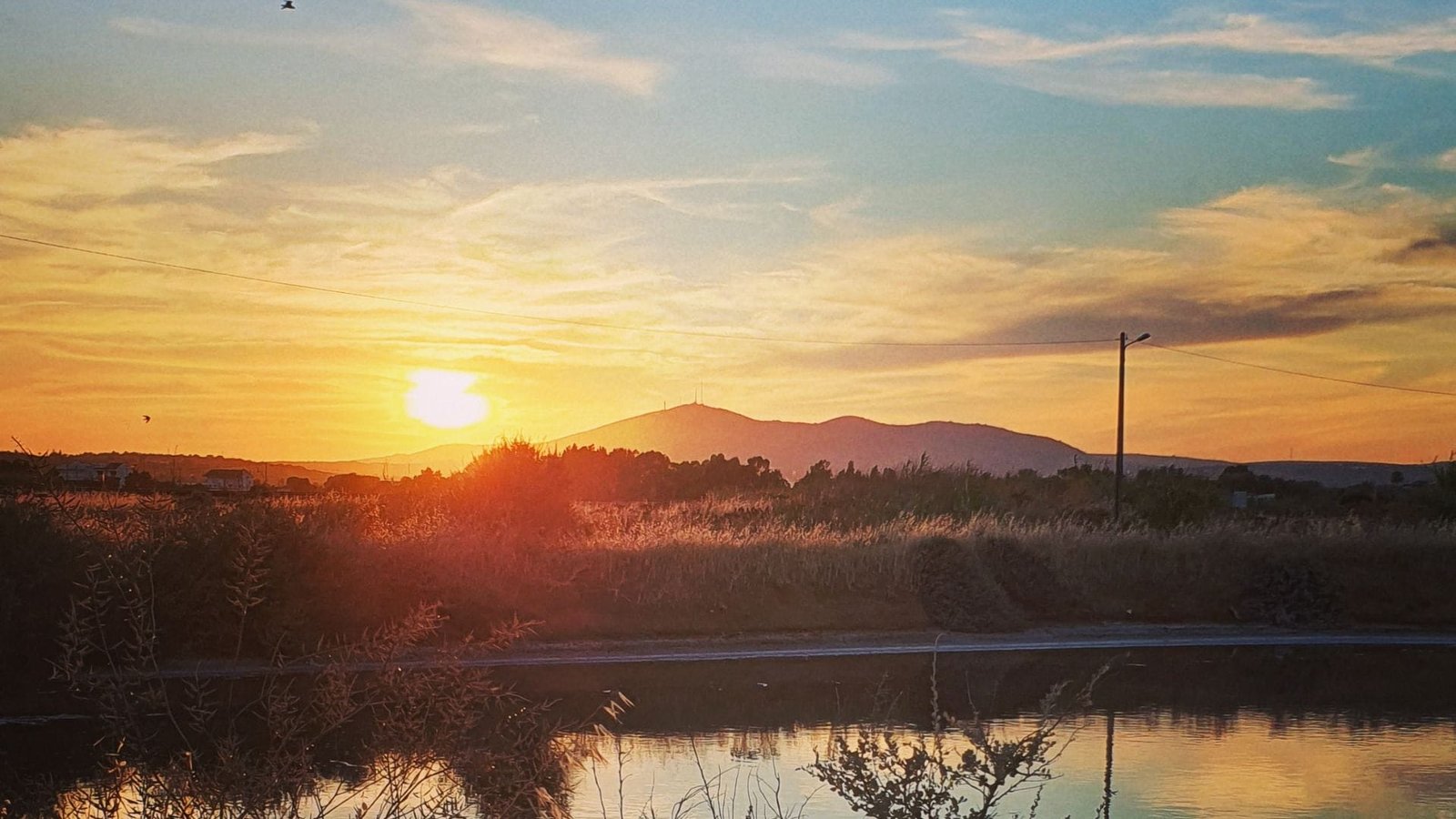
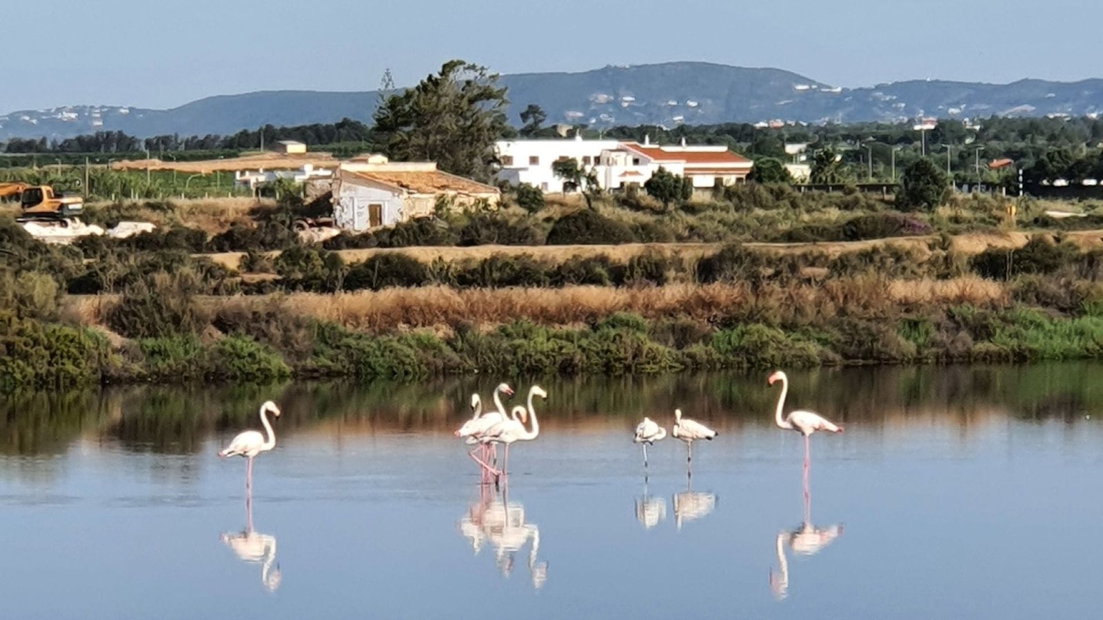
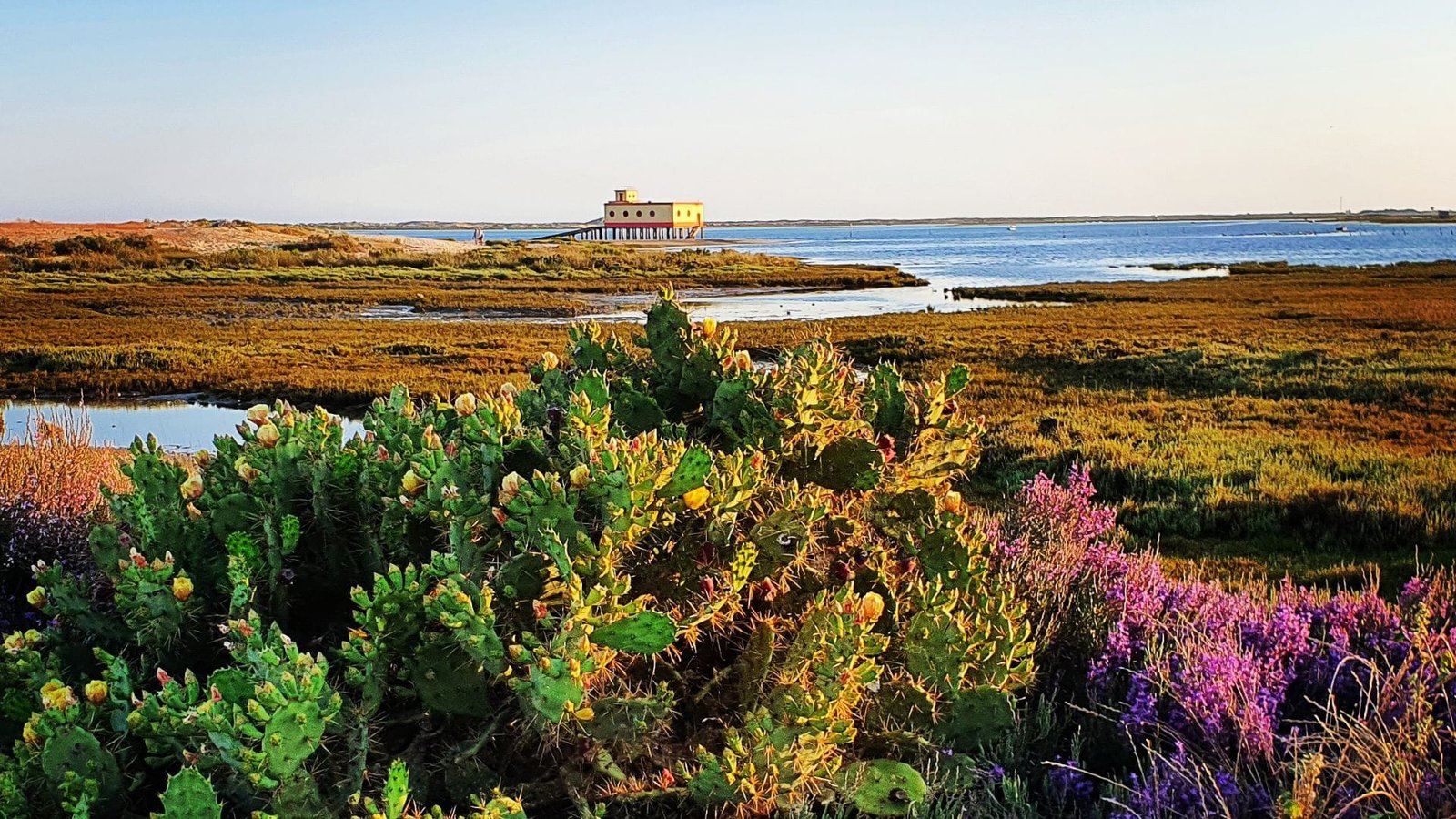
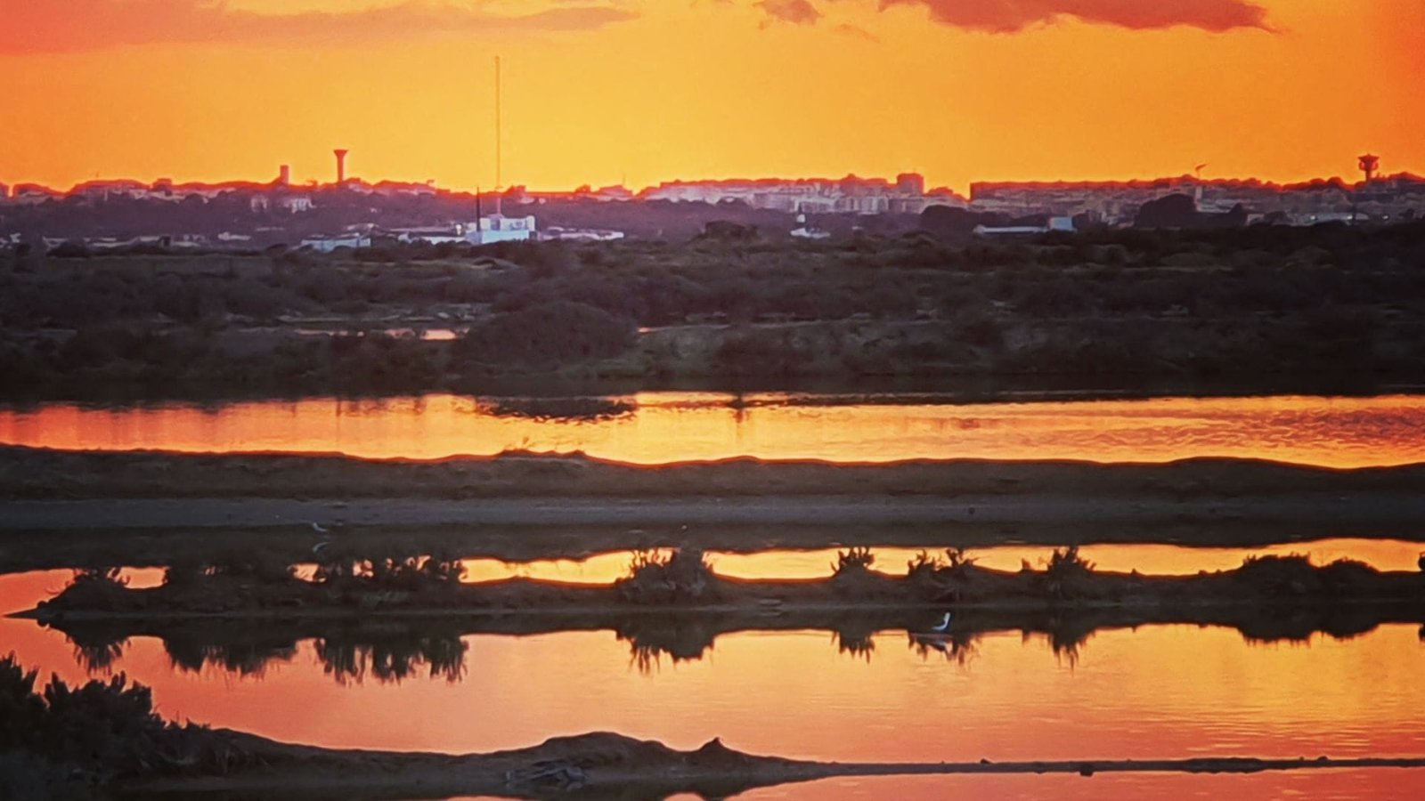
Looking to discover Olhão in a different way ? Explore its diverse landscapes and rich heritage by taking the many marked hiking trails that crisscross the Concelho. Between the lagoons of the Ria Formosa, hills covered in Mediterranean vegetation, rural paths lined with olive and orange trees, and villages with preserved charm, each route immerses you in the authentic soul of the Algarve.

From Fuseta to Moncarapacho, passing through Pechão or Olhão itself, the pedestrian routes PR1 to PR6, as well as the Rota das Igrejas, invite you to slow down and reconnect with nature. Whether you are a fan of leisurely walks, a curious hiker, or an experienced trekker, you will find a variety of distances, durations, and levels to satisfy all your desires.

On this page, you will find downloadable maps for each route, practical information, and everything you need to easily organize your outing. These hikes are the perfect opportunity to discover Olhão differently, away from the classic tourist circuits, at your own pace, with your eyes wide open to the beauty that surrounds you.

Whether you set off alone, as a couple, with friends, or with family, the paths of Olhão are waiting for you. Get your hiking shoes ready : here, every step brings you closer to the essence of this warm and vibrant land.

olhao-hiking-amo-te-olhao

PR1 – Roman Paths


Moncarapacho – Fuseta – 10.8 km

The PR1, known in Portuguese as “Caminhos Romanos”, takes you on the trail of ancient civilizations that once occupied the Olhão region. This history-rich route traverses typical landscapes of the Algarve interior, combining built heritage, ancestral paths, and spectacular viewpoints.

Ideal for nature and history enthusiasts, this itinerary connects the village of Moncarapacho to the coast, passing by medieval ruins, churches filled with spirituality, and hills offering views of the splendor of the Ria Formosa.

Accessible to all regular hikers, the trail offers a total immersion in the living heritage of the Concelho, between paved paths, mysterious caves, and breathtaking views.

Stages of the Route

Here are the main stages of this hike :

  • 📍 Junta de Freguesia de Moncarapacho – Starting point of the trail, in the heart of the village.
  • ⛪ Igreja de Nossa Senhora da Graça – A baroque-style church dedicated to Our Lady of Grace.
  • 🧱 Calçada Medieval – Ancient paved road dating back to the Middle Ages, a testament to past civilizations.
  • 🌄 Miradouro do Cerro de São Miguel – A must-see panoramic viewpoint, perched at 411 meters altitude.
  • 🕳️ Gruta da Ladroeira Grande – A mysterious cave, steeped in local legends.

An unmissable route to discover Olhão’s countryside, with its history, panoramas, and preserved nature.

📄 Download the PR1 map : Click here to download the map in PDF format

PR2 – São Miguel Trail


Moncarapacho – Fuseta – 14.5 km

The PR2, known in Portuguese as “Caminho de São Miguel”, is a route that connects the center of Moncarapacho to the Ermida de São Miguel, passing through hilly landscapes filled with legends and history. This journey takes you through ancient paths, places of worship, and iconic viewpoints of the region.

Considered a mystical place for centuries, the Cerro de São Miguel holds an important place in the popular imagination of the Algarve. This hike offers the opportunity to discover this emblematic peak while exploring traces of the past, from medieval cobblestones to religious buildings.

With its 14.5 km, this route is intended for regular hikers, ready to immerse themselves in nature, spirituality, and spectacular views of the Ria Formosa.

Stages of the Route

Here are the main stages of this hike :

  • 📍 Junta de Freguesia de Moncarapacho – Starting point of the route from the local town hall.
  • ⛪ Igreja de Nossa Senhora da Graça – Iconic baroque church of Moncarapacho.
  • 🧱 Calçada Medieval – Segment of medieval paved road, a remnant of the ancient routes of the region.
  • ⛰️ Ermida de São Miguel – Chapel perched atop the Cerro de São Miguel, offering an exceptional view of the Algarve.

A symbol-rich route, perfect for lovers of cultural hikes and grand panoramas.

📄 Download the PR2 map : Click here to download the map in PDF format

PR3 – Ria Formosa Trail


Moncarapacho – Fuseta – 7.5 km

The PR3, known in Portuguese as “Caminho da Ria Formosa”, is a beautiful walk between the sea and the countryside, connecting the heart of Fuseta with the lagoon landscapes of the Ria Formosa. This short but emotionally rich trail offers both a maritime and rural immersion, ideal for an accessible and exotic walk.

This pedestrian route highlights Fuseta’s dual identity : cosmopolitan by the sea, intimate by its lands. Between peaceful alleys, views of the lagoons, and local heritage, this path is perfect for a gentle hike, combining cultural discovery and soothing nature.

With a distance of 7.5 km, this route is suitable for walkers of all levels and is an excellent choice for a leisurely stroll in a preserved environment, in the heart of the Ria Formosa Natural Park.

Stages of the Route

Here are the main stages of this hike :

  • ⛪ Igreja de Nossa Senhora do Carmo – A charming church in the heart of Fuseta, dedicated to Our Lady of Mount Carmel.
  • 🚤 Estação de Socorros a Náufragos – The former maritime rescue station, a testament to the strong bond between Fuseta and the ocean.
  • 🏰 Torre de Bias – A historical vestige nestled between the lagoon and the village, marking the end of this lovely walk.

An easy and invigorating walk, perfect for discovering on foot the charms of the Ria Formosa and the Olhão coastline.

📄 Download the PR3 map : Click here to download the map in PDF format

PR4 – Water Trail


Pechão – 3.4 km

The PR4, known in Portuguese as “Caminho da Água”, is a charming short hike in the heart of the village of Pechão. This trail invites you to follow the path of water, discovering ancient springs, norias, wells, and fountains that bear witness to rural life and the ingenuity of past generations.

This easy walk winds through small streets, country paths, and historical vestiges, retracing the vital importance of water in local development. Between hydraulic heritage, agricultural tradition, and spirituality, this hiking route offers a gentle immersion into the history of Pechão.

With its 3.4 km, it is a perfect itinerary for a leisurely walk with family or for lovers of short trails who wish to explore the territory of the Concelho of Olhão differently.

Stages of the Route

Here are the main stages of this hike :

  • 🏛️ Junta de Freguesia de Pechão – Starting point of the trail, in the heart of the village.
  • 💧 Poço da Amendoeira – Iconic old well, associated with the local almond tree.
  • 🪣 Lavadouro – Public washhouse once used for communal laundry.
  • ⛲ Fonte Velha or dos Milagres – Ancient fountain, also known as the fountain of miracles.
  • 🕳️ Poço do Lagar – Well located near the old oil mill.
  • ⚙️ Nora do Viriato – Traditional noria used for drawing water.
  • ⛪ Igreja Paroquial de São Bartolomeu de Pechão – Parish church dedicated to Saint Bartholomew.
  • ☠️ Capela dos Ossos – Chapel of Bones, testament to a strong religious tradition.

A short trail rich in discoveries, ideal for a cultural stroll through Pechão and its ancestral connection with water.

📄 Download the PR4 map : Click here to download the map in PDF format

PR5 – Pechão with History Trail


Pechão – 7.5 km

The PR5, known in Portuguese as “Pechão com História”, is a hiking route that immerses you in the rural and spiritual past of this typical village in the Concelho of Olhão. This cultural and heritage trail connects several iconic sites along a 7.5 km path, accessible to all lovers of authentic walks.

Along the way, you will encounter wells, fountains, wash houses, religious buildings, and legendary stones, witnesses to a time when water, land, and faith structured daily life. This pedestrian route offers an immersion into local history, highlighting the ingenuity of the ancients and the rich heritage of Pechão.

Ideal for a leisurely walk combining culture, nature, and contemplation, this trail invites you to slow down and observe the traces of a past still very much alive in the streets and paths of the village.

Stages of the Route

Here are the main stages of this hike :

  • 🏛️ Junta de Freguesia de Pechão – Starting point of the route at the village’s administrative center.
  • 💧 Poço da Amendoeira – Historic well associated with an ancient almond tree.
  • 🪣 Lavadouro – Former communal wash house, symbol of community life.
  • ⛲ Fonte Velha or dos Milagres – Fountain known as the “fountain of miracles,” highly appreciated locally.
  • 🕳️ Poço do Lagar – Well of the oil mill, essential to the former economy.
  • ⚙️ Nora do Viriato – Traditional noria used for irrigation.
  • ⛪ Igreja Paroquial de São Bartolomeu – Parish church dedicated to Saint Bartholomew.
  • ☠️ Capela dos Ossos – Chapel of Bones, an astonishing testament to local religious culture.
  • 🪨 Pedra da Queijeira – “Stone of the Cheesemaker,” a mysterious stone rooted in local legends.

This trail is a true journey through time, a rich and lively itinerary where every step resonates with the history of Pechão.

📄 Download the PR5 map : Click here to download the map in PDF format

PR6 – Rural Trail


Pechão – 13.5 km

The PR6, known in Portuguese as “Caminho Rural”, is an immersive hiking route of 13.5 km starting from Pechão, taking you on a journey through the living rurality of the Algarve. This trail leads you through a mosaic of inhabited landscapes, between cultivated fields, quiet hamlets, and ancient constructions, at the border between the rural world and urban space.

Perfect for a longer walk, this path reveals the subtle contrasts between agricultural heritage, village life, and discreet modernity. Here, rurality remains anchored, between traditions, watercourses, and human infrastructures. It is an itinerary that speaks of coexistence, heritage, and evolution.

This marked trail is ideal for those who wish to venture off the beaten path while staying close to the heart of Pechão, for a gentle yet enriching walk.

Stages of the Route

Here are the main stages of this hike :

  • 🏛️ Junta de Freguesia de Pechão – Official starting point of the trail.
  • 💧 Poço da Amendoeira – Historic well linked to almond tree cultivation.
  • 🪣 Lavadouro – Traditional wash house, a vestige of collective life from the past.
  • ⛲ Fonte Velha or dos Milagres – Fountain of miracles, an emblematic water point.
  • 🕳️ Poço do Lagar – Old well associated with an oil mill.
  • ⚙️ Nora do Viriato – Typical noria used for irrigation.
  • ⛪ Igreja Paroquial de São Bartolomeu – Parish church of Pechão.
  • ☠️ Capela dos Ossos – Chapel of Bones, a singular and symbolic building.
  • 🌉 Ponte de Bela Mandil – Discreet and charming bridge over the Ribeira de Bela Mandil.

A trail at the crossroads, perfect for curious walkers eager to explore another face of the Algarve, between nature, culture, and rural traditions.

📄 Download the PR6 map : Click here to download the map in PDF format

Rota das Igrejas – Religious Heritage Trail


Olhão – Urban and Cultural Route

The Rota das Igrejas is a unique pedestrian route that takes you on a discovery of the main churches and chapels of the Concelho of Olhão. Built between the 16th and 20th centuries, these religious buildings bear witness to the history, culture, and faith of the local communities.

This cultural route traverses the different freguesias of Olhão, from Moncarapacho to Quelfes, passing through Pechão and the city center. Through a leisurely walk, you will discover a rich religious heritage, from emblematic churches to discreet chapels and places filled with spirituality. Some are open to the public, while others can only be visited during celebrations, but all are worth a visit.

It is a path of memory and contemplation, accessible to all, ideal for a peaceful walk punctuated by historical and architectural stops. An authentic way to visit Olhão off the usual tourist paths.

Practical Information

  • 📍 Recommended starting point : Igreja Matriz da Nossa Senhora do Rosário, Olhão city center
  • 🏛️ Coordinates : Municipal Museum of Olhão – Praça da Restauração, 8700-350 Olhão
  • 📞 Contact : +351 289 700 103 – museu@cm-olhao.pt

An ideal walk for lovers of heritage, local history, and spiritual discoveries, in the heart of the Algarve.

📄 Download the route map : Click here to download the map in PDF format

Marked Trails in Moncarapacho, Fuseta, and Pechão: Two Guides to Discover


In addition to the Rota das Igrejas and the PR trails of the Concelho of Olhão, two booklets published by the municipality highlight pedestrian routes (walking trails) through the villages of Moncarapacho, Fuseta, and Pechão. Rich in information, these guides offer marked walks that combine heritage, local history, spirituality, and typical landscapes of rural Algarve.

The Guia Moncarapacho-Fuseta leads you on a pedestrian route dotted with churches, chapels, and iconic sites such as the Cerro de São Miguel or the chapel of Santa Catarina. The trail alternates between urban areas and country paths, offering magnificent views of the Ria Formosa and the hinterland.

The Guia de Pechão also offers a hiking itinerary through the village streets and its surroundings. You will discover notable elements of local heritage: the parish church of São Bartolomeu, the chapel of bones, fountains, wells, norias, and other testimonies of a deeply rooted rural life.

Designed for discovery on foot, these two marked trail guides are perfect for complementing your hiking route in the Concelho of Olhão. Whether you are a regular walker, a history enthusiast, or simply a curious visitor, these brochures will accompany you on cultural, accessible, and authentic walks.

📄 Download the guides :

These two brochures are available for free at the Municipal Museum of Olhão, or can be downloaded online, to accompany you on your next hikes between sea, village, and countryside.

With gentle steps through Olhão’s winding ways,
Past chapels, hills, and quiet seaside air,
The walker finds, in light and time’s soft haze,
Echoes of lives once lived still lingering there.

Each stone, each cross, each path beneath the sky
Tells tales of faith, of hands once held, once true.
Through silent streets where memories lie,
Time holds its breath—yet stories still shine through.

Explore Olhão on Foot, Between Nature, Heritage, and Authenticity


Whether you are a fan of hiking in the Algarve, passionate about religious heritage, or simply a stroller seeking tranquility, the marked trails of the Concelho of Olhão promise you an unforgettable experience. Between coastal paths, rural walks, and cultural routes, each itinerary reveals a unique face of this still-preserved region of the Algarve.

From the heights of Cerro de São Miguel to the lagoons of the Ria Formosa, passing through the peaceful alleys of Pechão and the historic chapels of Fuseta, each hike in Olhão is an invitation to slow down, breathe, and connect with the essential.

Feel free to download the route maps offered on this page to prepare for your next walk. Whether alone, with family, or with friends, Olhão is discovered step by step, at your own pace.

Get your shoes ready, open your eyes wide, and let yourself be guided by the trails of Olhão…

Looking for an Activity in Olhão?


best-activities-olhao-amo-te-olhao-pt